
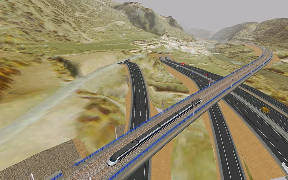
Performance
Power for large projects
Handle alignments hundreds of kilometres long, large point clouds and complex geometry with high-performance tools.
Since 1989 we have developed, in Spain, specialised software for civil engineering and infrastructure.
More than 35 years combining innovation, experience and close technical support. Technology built by specialists, with a team of engineers by your side on every project.

Point clouds
More than 500 million points
IFC 4.3 · BCF · LandXML
Reliable, with a future
Behind ISTRAM there is a Spanish company, a team of specialised professionals and decades of experience in civil engineering projects.
We keep investing in technology, innovation and new capabilities, while keeping our commitment to those who trust us intact.
Discover ISTRAM®
Design, calculate, model and track your projects with specialised, modular BIM software, ready for the great challenges of civil engineering.
Handle alignments hundreds of kilometres long, large point clouds and complex geometry with high-performance tools.
Work with open formats such as IFC, LandXML and BCF, and make it easy to exchange information with other BIM tools and platforms.
Specific tools for each discipline, with design standards built into the design and calculation processes.
Specialised in every discipline. Integrated in one environment.
Set up ISTRAM with the modules you need. Start from a common Digital Cartography base and extend its capabilities as your business evolves.
See the modules
Make use of project information during construction too
Technical support
Technical support here is not a call centre. It is engineering applied to the customer.
A multidisciplinary team with experience in civil engineering, surveying and software development, who understand the technical challenges of your projects.
We do not just answer questions about the program. We guide you to make the most of its tools and meet the needs of your work.
We listen to your suggestions and needs. Our development team takes them into account to keep evolving ISTRAM.
Your move to ISTRAM®
We help you move to ISTRAM with technical advice, a review of your files, tailored training and support on your first projects.
We review your files and needs to identify the best options for reusing and exchanging information with ISTRAM.
Hands-on training, online or on site, adapted to the experience of your professionals and the tools they need.
Our technical team guides you during onboarding and helps you get the most out of ISTRAM in your projects.
Tell us which software you use and what you need. We will advise you on the options available.
Flexible licensing
Choose the licensing model that best fits your projects and your company. We help you find the most suitable option.
An investment with a permanent right of use, with update and support services according to the maintenance you contract.
Periodic licensing options to match the investment to the needs of your business.
Different options for accessing and managing licences, to suit the way your team is organised.
ALL-IS BIM · ISTRAM + ALLPLAN
ISTRAM® and ALLPLAN join forces in ALL-IS BIM, a suite that connects infrastructure design, structural modelling and BIM collaboration in a single workflow.
Innovation and news
We keep developing new features, improving our tools and adding technologies to meet the challenges of civil engineering.
The next generation of ISTRAM is already in development
We are evolving our technology to offer a more modern, flexible platform, ready to take on new capabilities.
Read the post 01.2027 · Coming soonLicence management platform for customers
 02.2027 · Coming soonNew features for infrastructure design
A new technological generation in development: more modern, intuitive and flexible, built on decades of experience in civil engineering.
Today’s ISTRAM® keeps moving forward while we develop tomorrow’s.
Frequently asked questions
Every project and every company has its own needs. Here we answer the most common questions. And if you need anything else, our team will be happy to help.
Send us your questionYes. We can study your files and check what information can be reused through the formats ISTRAM supports, such as LandXML, IFC, DWG or DGN. Our technical team will advise you on the options available in each case.
It depends on your experience and on the kind of projects you work on. We offer practical, specialised training in several formats to help you learn the tools you need for your work.
We have a team specialised in civil engineering and in the use of ISTRAM. Depending on the services you have contracted, you can get assistance to solve technical questions and make better use of the software.
No. ISTRAM is modular. Digital Cartography is the base, and you can add the modules you need depending on the work and disciplines of your company.
Yes. ISTRAM exchanges information through formats such as IFC, LandXML, DWG, DGN and BCF, which makes it easier to work with other tools and BIM collaboration environments. Specific compatibility depends on the workflow and the data used.
We offer perpetual licences and periodic licensing models, as well as different licensing systems. Our sales team will help you assess the option that best fits your needs.
ISTRAM continues to be developed and used today. In parallel, we are working on a new technological generation. The conditions for upgrading, compatibility and transition will be communicated as they are defined and approved. Both solutions will coexist for a long time. If you have the ISTRAM® you have always used, rest assured: it will never stop working.
Tell us what you need and one of our specialists will show you how ISTRAM can help in your projects. No strings attached, with the personal attention we are known for.